|
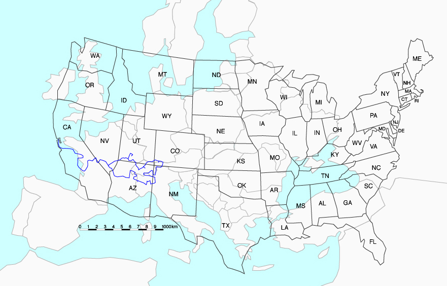
The two outlines are approximately on the same scale. The continental USA is much closer to the equator than Europe: hence there is less deformation than for the EU map (e.g. Scandinavia is somewhat too big). To minimize the deformations, the outlines were combined from atlas scans (details) and photographs of a globe (deformations). In reality, Paris is at the same latitude as the northern straight border of the USA (Washington-North Dakota) and the southern tip of Texas is at the latitude of Luxor in Egypt!
|
|